Transportation
Helping you take decisive strategic, operational, and regulatory action.
Where deep industry knowledge meets emerging technology
We take on transportation challenges across the globe—delivering innovative answers to issues that affect communities, consumers, and their governments. Our experts develop transportation solutions that promote sustainable travel and goods movement, improve safety, promote emissions efficiencies, optimize existing systems, and empower users with real-time information to make informed choices.

Healthy and livable communities
We bring a comprehensive grasp of the planning and policy issues to achieve livability goals through strategy, programming and project development activities.


Transportation services
Planning and strategy
- Active demand management strategies identification
- Commuter strategies development
- Corridor planning
- Environmental linkages planning
- Environmental policy support
- Facilitation and goal setting
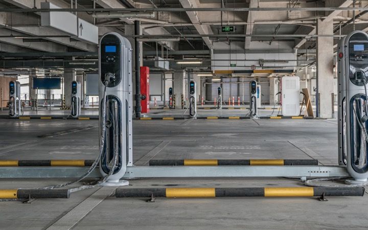
- Fleet electrification solutions
- Investment strategy development
- Livability strategy planning
- Regional, local, and sub-area travel demand management
- Statewide and metropolitan transportation planning
- Micro-mobility planning
- Mobility and accessibility strategy identification
- Performance measures development
- Scenario development and alternatives analysis
- Sustainability strategy planning
- Targets development
Analysis
- Data gathering, data visualization, and analytics
- Demand forecasting and trends analysis
- Demographic analysis
- Economic impact modeling
- Health impact assessment
- Impact assessments
- Lifecycle analysis
- Market assessments, profiles, and feasibility studies
- Policy analysis
- Benefit-cost and risk and uncertainty analysis
- Technology feasibility studies
- Worksite commuter trip analysis
Implementation and outreach
- Incentive program design for public agencies and utilities
- Marketing, outreach, and education
- Program implementation and grants management
- Stakeholder engagement
- Systems integration
- Technology transfer and technical assistance
- Tool development and maintenance
- Tracking, reporting, and evaluation
- Training development and delivery
Our work
Related industries, services, and solutions